Larkspur B-17 Trips Ten, Eleven and Twelve
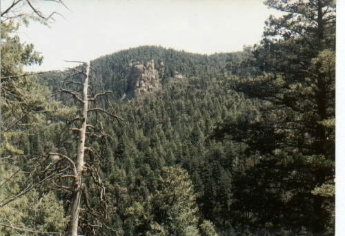
Len Wallace had kindly provided me with a picture of a rock formation which he had taken while standing on the crash site. This seemed like a great clue if only I could find the particular rock pile. Unfortunately, the area is littered with dramatic rockpiles everywhere.
This is what he saw:

So, on May 18, 2002 I took a trip alone to the general area with the idea that I'd walk out onto several different ridgetops and would scan the horizon looking for something that might match this. The trip was not a raging success in that I didn't come home shouting "Eureka!" The best I could do was to say I think I'd seen something somewhat similar off in the haze a bit and I took a compass bearing from a GPS waypoint. Later on I laid that line out and thought about it.
Meantime, I'd been in email correspondence with Rob Korotky and Robert Schoolfield about various wrecksite related topics and told them about this quest. On June 1 we met in Sedalia and went for a hike to see if the rock pile I'd seen previously could be the right one. Unfortunately, to make a long day into a short story- we hiked to where we could see it and decided it was pretty likely. Then we hiked to another place where we expected to see it but couldn't, hiked downhill, crossed a creekbed then climbed again to where we could see it and decided that the light had changed enough that it really was the right stack of rocks. At that point the GPS proved to us that we'd been on that spot earlier in the day when we weren't sure and now we were exhausted and the day was getting late so we had to bail out.
During the month of July the Hayman wildfire kept Pike National Forest closed to us. During August I was working 6 and 7 days a week with long days by my boss' side while he was in the hospital.
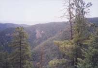
Finally, on September 8, on very little advance notice, Rob Korotky and I made the trip. We returned to the spot where we could see the rock formation from last time and then descended. YUCK! The open areas between the boulders where we descended were filled with dead trees and brush which made the descent (that's DOWNHILL!) difficult and time consuming. Still using the rockpile as a guide, we knew when we were about level and then made our way to the left. Rob sighted the first piece at about 2 hrs 15 minutes from the car.
I put the coordinates on the front page for where you hike and where the site is. I'll leave the adventure to you to study the maps and figure out the least-energy way to get there. But here's a hint- the hillside is clearer if you come down such that you have to move to your right in order to get to the wreck.
The territory is complex enough that I strongly recommend that you not try to find this wreck the first time without GPS. The large number of tries it took to find this one ought to be warning enough that even people who have been to the wreck site can become confused.
Pictures:
 |
 |
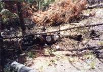 |
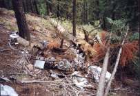
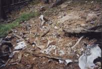
| Yo, Rob! | View of an engine. | Same engine |
 |
 |
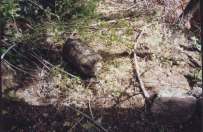 |
| Our view of the rocks before descent | Impact spot. | Oxygen canister down the hill. |
 |
 |
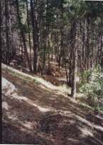 |
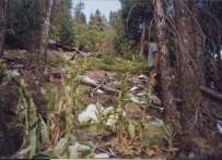
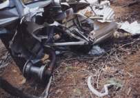
| General view of site (uphill) | Tailwheel assembly | Trail down near creek. Downhill
would lead out to private land. |
Last Modified: 1/1/2008