Mt. Tom B-25
| Name | Mt. Tom B-25 |
| CAP data | 3949N 10521W 08APR52,B-25,SEE*,*AF38015/VSB FM AIR/SM PCS ONLY,12. |
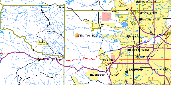
| GPS coords | removed (private land) |
| GPS decimal | removed (private land) |
| UTM | removed (private land) |
| Datum used | NAD 27 |
| County | Jefferson County, CO. |
April 8, 1952
Click on the image to get a bigger version of each picture.
 |
 |
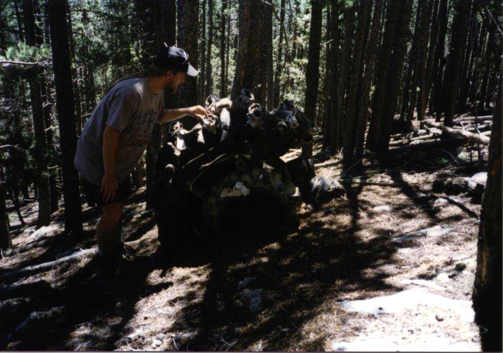 |
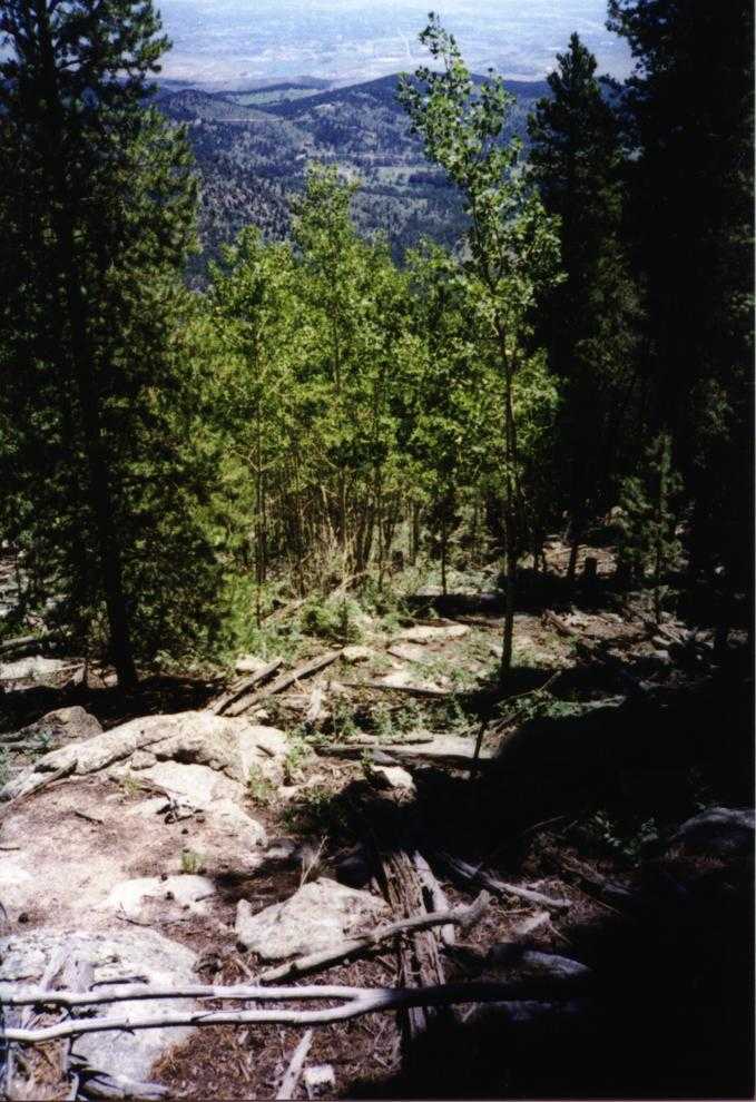
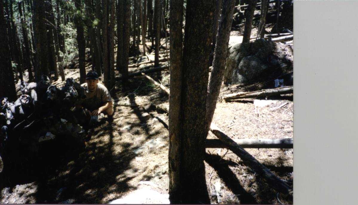
| View to the eastern plains | Engine 1 (difficult lighting for the camera) | Engine 2 |
The wreck cause: Clearly failed to clear terrain on westbound heading. Newspaper article suggested he was on the west side of the radio range station when he thought he was east and heading into Lowrey.
Casualties: Capt. Hilton B. Wilcox, Jr.
Lt.Col Merrill E. Smith
9 others (waiting for Duke Sumonia's link to an image server to start working again)
Site Description:. 250 feet below the summit of Mt. Tom on the ENE face in trees. Scattered. Radial engines, landing gear, small scraps. No identifiable sheet metal or wing surfaces. Looks like Army dynamited wreck? Or much aluminum was hauled away?
Best route - withdrawn (private land)
Trip Report: None. Didn't write one.
Home Moggie!

Last Modified: 3/20/2011