Glenwood Springs / Haystack Gate / Ski Sunlight B-17
Trip to find the wreck
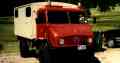
Found it during the Unimog adventure of 1999-
The internet world is remarkable in that I conducted a search for "airplane wrecks" and came up with a site written by a fellow on the western slope containing the story of this airplane wreck. He’d put a map up with a geographical marker on his site and I’d emailed him for some additional directions. He’d said that the site coordinates used for the map were correct and he gave me some road/trail directions.
We were underway around 0900 heading west on I-70. The climb out of Silverthorne took awhile and some of the I is definitely 4th gear territory (Vail Pass) but it's the only way to go west from there. We went via Glenwood Canyon (limit 50 and downhill) via Colo. 82 then County 117 to Ski Sunlight near Glenwood Springs. We followed the paved road to Forest Rd 300 which goes up to an area called Haystack Gate, named for Haystack Mountain, which is the main feature of the valley just beyond.
I had GPS coordinates (precise ones) for a B-17 wreck there. This was a 1948 crash of a Air/Sea Rescue airplane that had run out of gas. All 5 aboard bailed out safely.
When we got to Haystack Gate, we followed the coordinates to a little dirt road. According to GPS, the wreck was ON this road. No airplane parts though. After studying the the hiking instructions, we realized that the coordinates were dead-flat wrong. Couldn't be here. It also dawned on us that the trail markers had changed colors, and that we'd come in on a different road: we'd come from the South, not the North. With these insights, we found the hiking/snowmobile trail to the wreck using the written instructions.
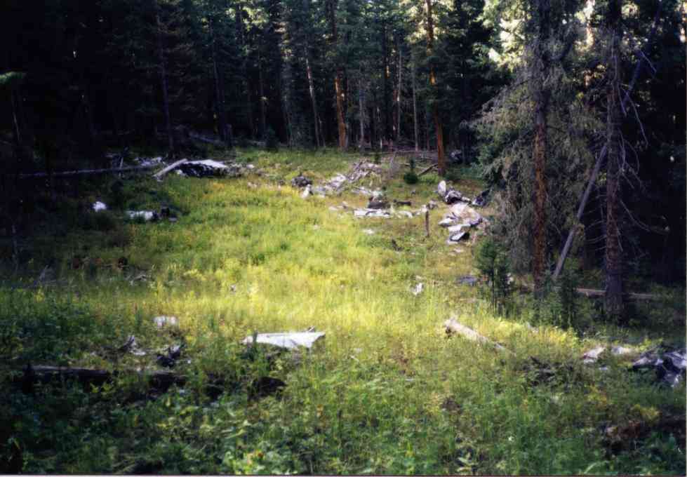
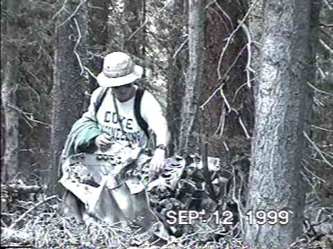
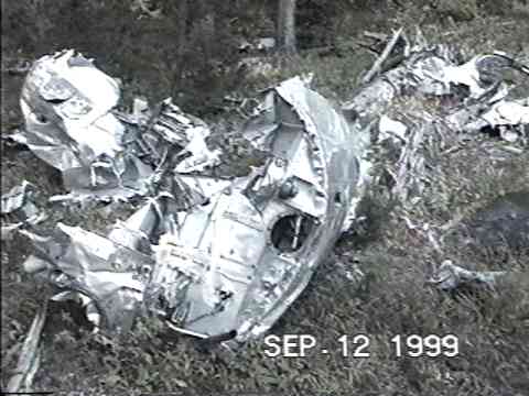
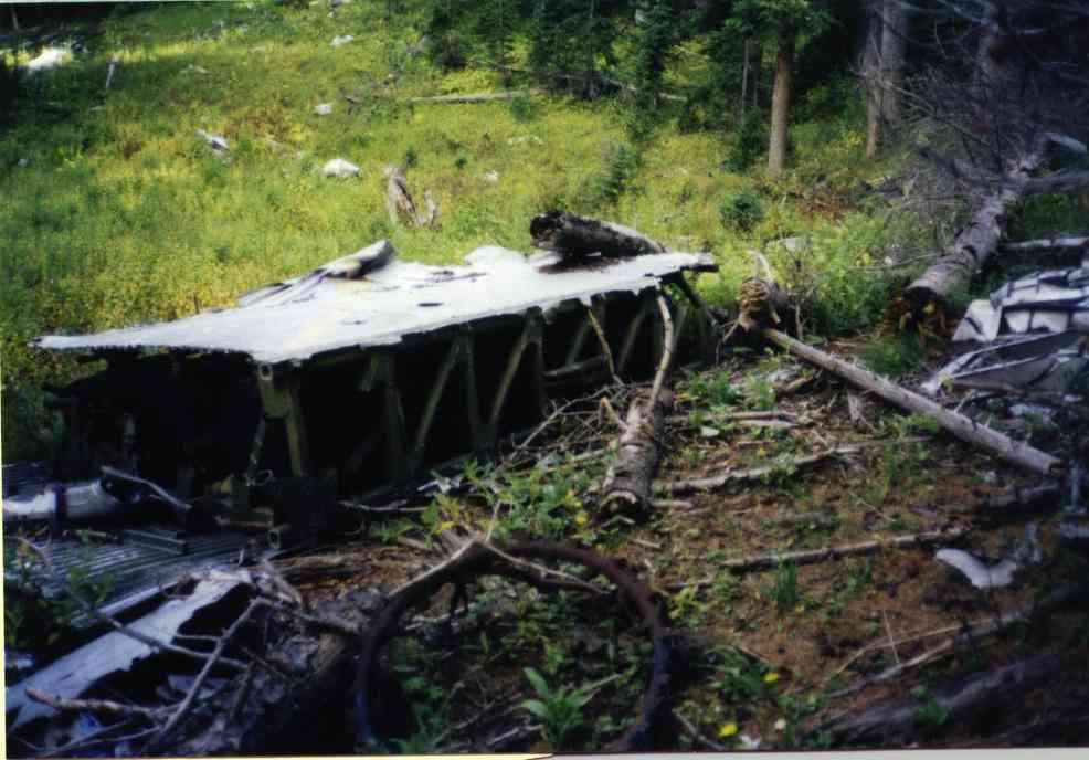
We parked the truck, geared up for a short hike and walked the trail. At the tree with the orange dot with purple circle around it we "turned left" off the trail into the woods. We got lucky and stumbled across the crash site. Like most WWII crash sites, it too had been "cleaned up" by use of dynamite. But all 4 engines were there as was a section of wing with fuel tank bladders left. I recorded the GPS coordinates of both the wreck and the orange dot with purple circle so I could write some better instructions for my web page.
(Click on the pictures to get enlarged images)
|
|
|
| Site general appearance. | Ron examining an engine. | Section of fuselage. |
 |
|
| Wing section (35mm instead of video capture) |
We returned to the truck and then eased off to the side of a meadow to setup camp not far from several other small hunters camps.
It was another 2 bag night and dawn came very pleasantly since we had great eastern exposure for the morning sun.
Home Moggie!
Last Modified: 1/1/2008